✕
✕
Terrain
75%
Historic map
70%
Map style ✕
Satellite and topo show terrain useful for understanding battlefield geography.
Division level colors each unit's formation distinctly. Army level shows Union (Tennessee=Blue, Ohio=Gold) and Confederate (Red).
Normal: icons and popup text at default size
Overlays ✕
Terrain & Landscape
Agricultural fields as they existed in April 1862: cotton, corn, wheat, orchards, and cleared ground that shaped movement and visibility. Boundaries are read from the Shiloh National Military Park Commission's own survey sheet.
The rough hourglass the ground made: Owl and Snake Creeks closing the northwest, Lick Creek the southeast, the Tennessee the east, leaving one open approach from the southwest. Shown with the Shiloh Divide, the ridge the Corinth road followed onto the field. Terrain framing after Timothy B. Smith, Shiloh: Conquer or Perish (2014), an interpretation of the ground, not a surveyed feature.
The watercourses themselves: Owl, Snake and Lick Creeks, Dill, Tilghman and Locust Grove Branches, and the Shiloh branches. Traced from the Shiloh National Military Park Commission's 1920 survey sheet, except Lick Creek, which that sheet does not reach: its line follows a modern basemap and is the present-day channel rather than a survey record.
Where the Union pickets stood before dawn on 6 April: one company from each regiment, advanced in front of the camps of Sherman and Prentiss, doubled on the night of the 5th (D. W. Reed, The Battle of Shiloh and the Organizations Engaged, 1902). Drawn as a band, not a line, because the record does not agree with itself on the distance: 0.5 miles where Moore met the pickets already coming in (tablet 217), 0.79 where the reconnoitering party made contact beyond them (tablet 213), 1 mile for Reed's standing arrangement, and a mile and a half on the Corinth road for both Sherman and Prentiss. The band spans that spread and claims only what they jointly support. Its position is interpolated; no source gives a coordinate.
Battlefield photos, lidar terrain and the historic maps are controlled by the Photos, Terrain and Historic buttons on the map.
Roads & Trails
2026 Trip Tracks
GPS tracks from the March 2026 battlefield visit, by day.
📷 Photos ✕
Checking for shiloh_photos.json…
Select a
shiloh_photos.json file. Photos can be hosted on Google Photos, Imgur, or anywhere publicly accessible.Format: keys = NPS marker numbers, values = arrays of
{url, caption, credit}. See the included template file.
UNION VICTORY

The Battle of Shiloh
April 7, 1862 · ~3:00 PM
Beauregard, his army exhausted and outnumbered by Grant's reinforced line, orders the Confederate withdrawal to Corinth. Grant's army holds the field, a costly Union victory.
~23,750 casualties over two days, more than every previous American war combined. Shiloh ended any hope of a short, bloodless war.
The field
Union
Confederate
3:00 AM · Apr 6
Reconstruction: positions documented, paths interpolated.
ESTIMATED CASUALTIES (approximate)
–Union est.
–C.S. est.
Total est. –, the bloodiest battle in America to this date
Engaged units shown: –
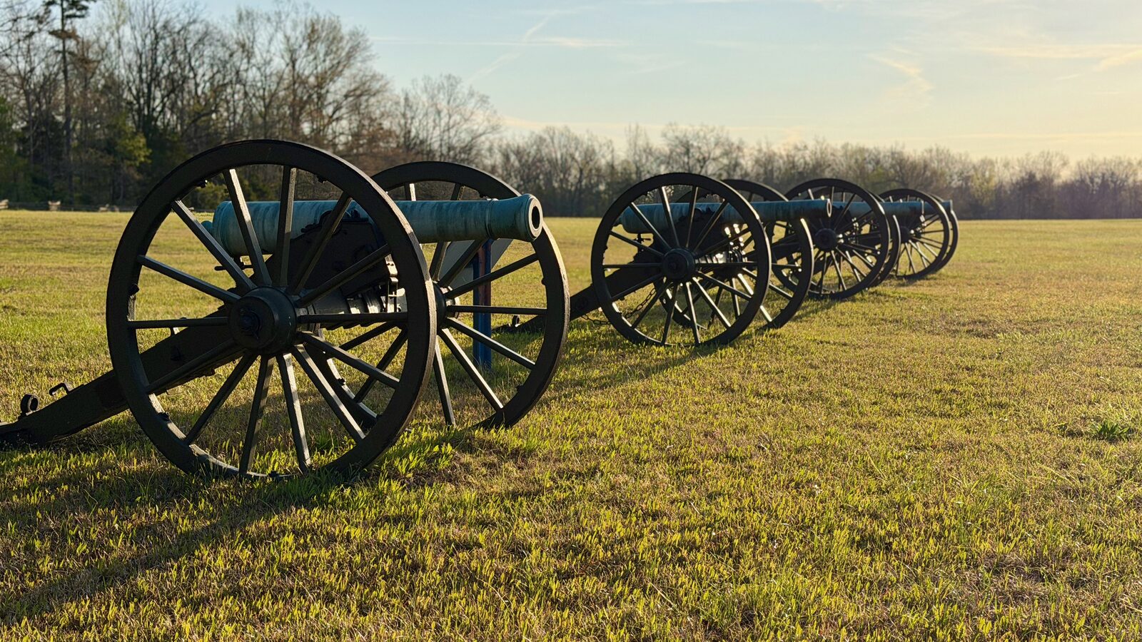 Sarah Bell's cotton field, Shiloh National Military Park
Reference · the armies, commanders and units
Order of Battle
The armies that fought at Shiloh, by formation — army, corps, division, brigade, regiment. Start with the commanders, or open the structure on the left and go down to any regiment, battery or gunboat.
Who commanded what
Open any portrait or brigade for its commanders, strength, losses and the markers standing on its ground. Every formation the map can filter to carries a Show on the map button there, and a bar at the top of the map brings you back to it.